

Hiking In Red Rock Country
 Saturday, Carolyn, Sara and I went hiking in Sedona, AZ. Though close to Prescott (65 miles), the geography is vastly different. It is known as Red Rock Country because of the incredible limestone and sandstone formations there stained red by iron oxide.
Arizona was once a shallow sea on the edge of Pangea near the equator. Over the millenia rising and receding seas deposited residue which created the land now found in Sedona. Over millions of years, erosion formed beautiful red spires. As it continues, eons hence, Sedona will become part of the Grand Canyon.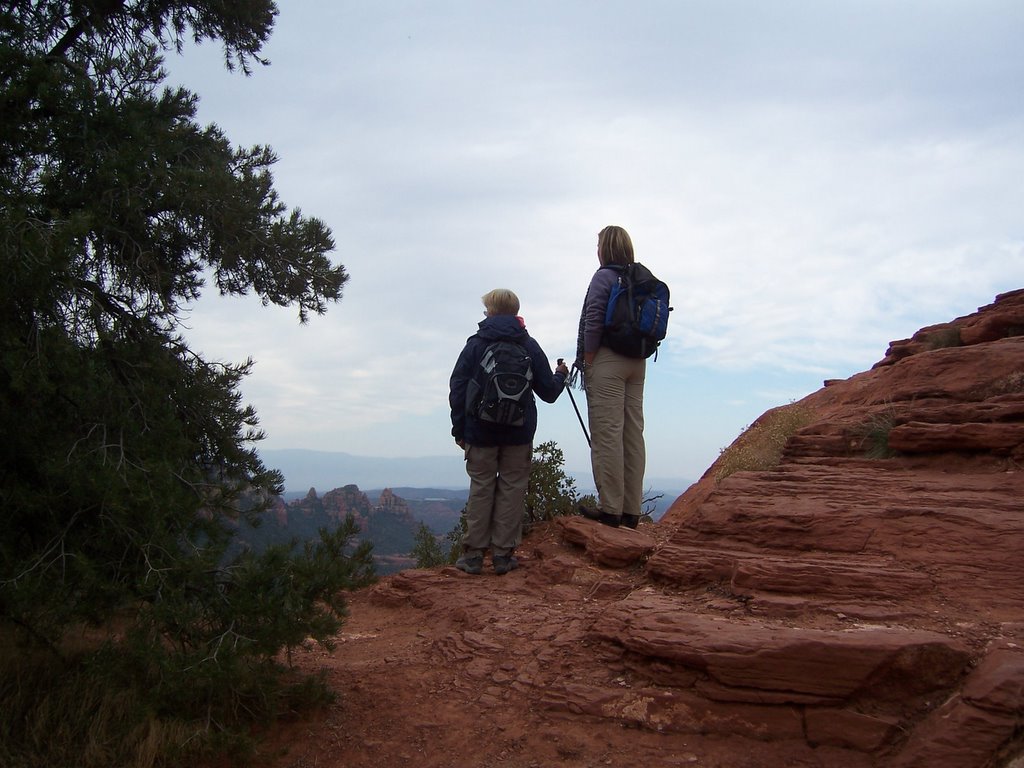 There are hundreds of miles of trails in the area. We began by going up Schnebly Hill Road, a very rough unpaved road that climbs above Sedona and affords wonderful views. (Mr. Schnebly was one of the early settlers in the area. His wife's name was Sedona.)
Carolyn and Sara checking out the vistas before we begin.
The day began with overcast skies and cool temperatures. The vegetation in this high desert climate is amazing. This exposed Juniper has survived under difficult conditions.
Native Americans stripped bark off the Junipers, soaked it in warm water and molded it to make diapers to line the cradles for their babies.
Life works with what it has. We chose the Huckaby Trail for our hike. The trailhead begins at the lower level of Schnebly Hill. It is a moderate trail 2.9 miles long undulating through the Coconino National Forest, across Bear Wallow Canyon, overlooking Sedona, and down to Oak Creek. It's up and down but changes only 260 feet in elevation.
 The trail passes dry creek beds at various points. Dry most of the year, these creeks will get alot of water during the spring melt off of snows on the mountains in Flagstaff just 30 miles north.
The trail affords beautiful views of Red Rock formations. Blue skies broke out and the sun warmed the air.
Carolyn peels off a layer as she sets a quick pace.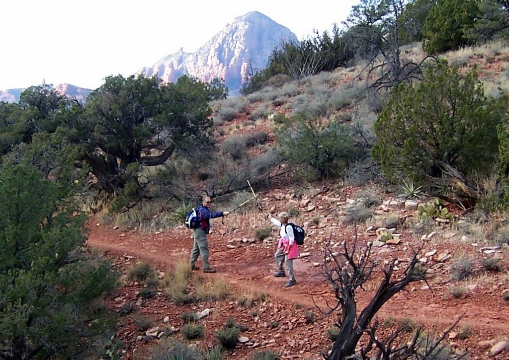
It must have been the heat ...
Swordplay breaks out on the trail before Carolyn restores order.
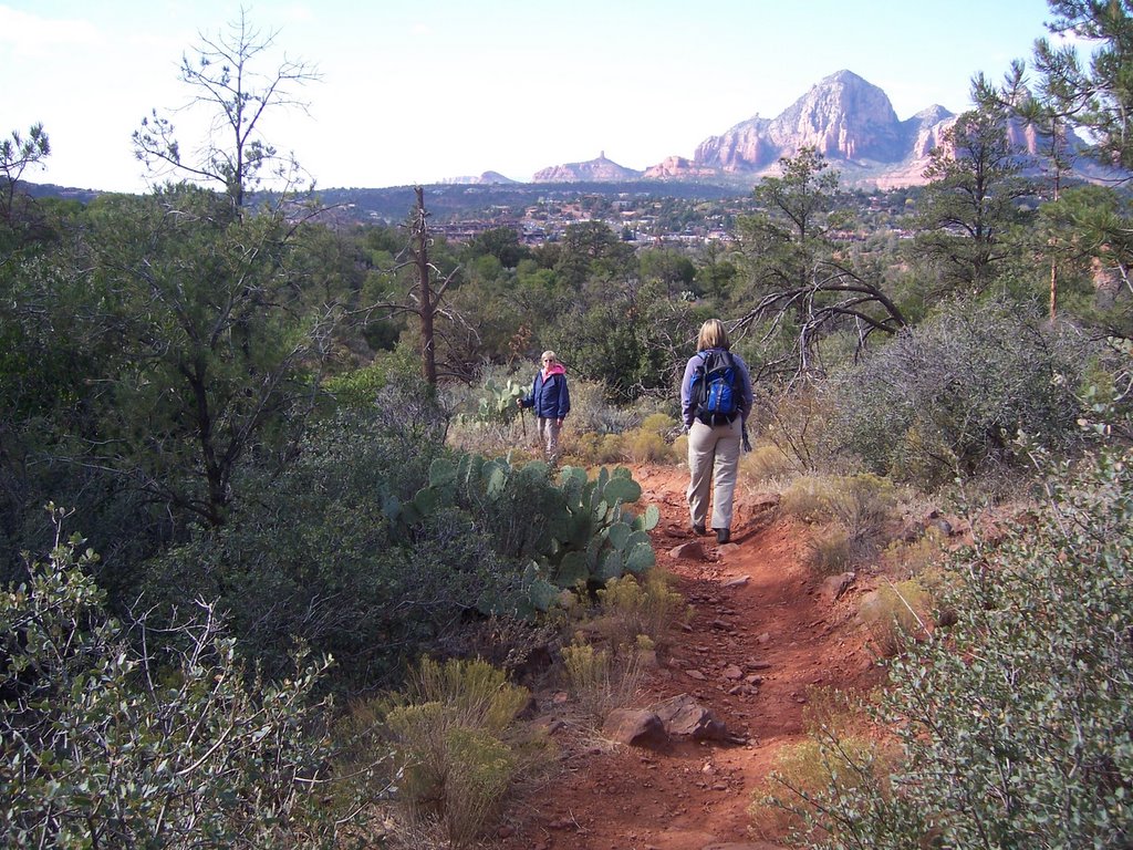
The scenery changes quickly on the Huckaby Trail. You can be in the open one minute, then the forest, next a canyon, and eventually on a cliff face overlooking a creek below.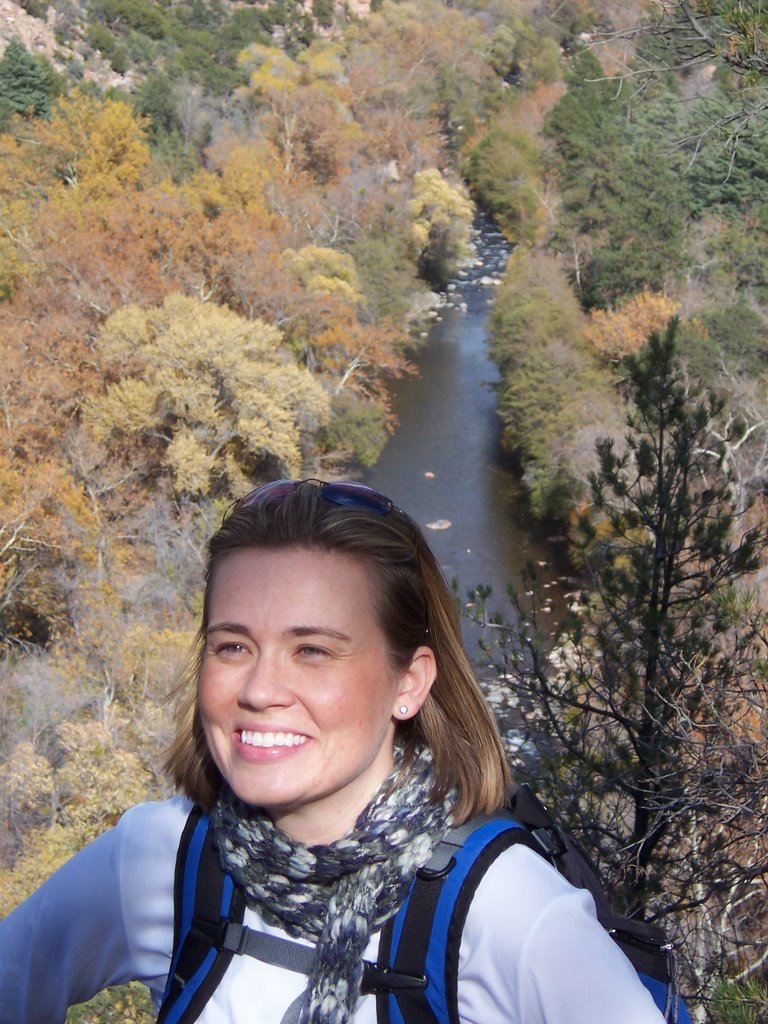
Near the end, the Huckaby Trail descends into Oak Creek Canyon. Oak Creek can be seen behind Sara. Midgely Bridge is just upstream.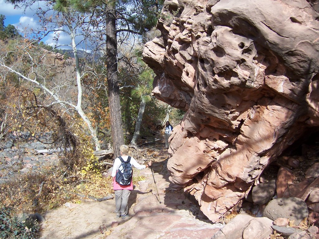 As the trail winds down to Oak Creek, you pass some interesting rock formations formed by water erosion.
Along Oak Creek, the vegetation is protected by the canyon walls. Many of the trees retain their fall colors even to the end of November.
In the fore and backgrounds, small black boulders can be seen. These black rocks are not native to the Sedona area. They have been carried more than 30 miles from the mountain tops in Flagstaff by torrential waters in spring melt offs.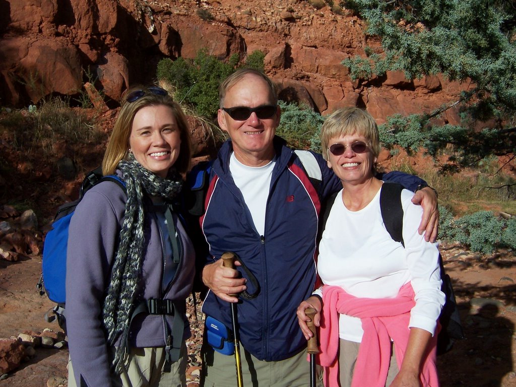
We stopped by creekside for rest and some lunch before heading back for the 2.5 mile hike to the trailhead where we started.
It was a great day. We look forward to many others in Red Rock Country.
posted by Larry | 7:33 AM
![]()
0 Comments:
Post a Comment
<< Home